Daijiworld Media Network – Bengaluru
Bengaluru, Mar 27: Pre-monsoon activity is set to intensify across Karnataka from March 27 to April 2, with the meteorological department forecasting widespread rainfall over the next seven days and issuing a yellow alert for around 14–15 districts, including Dakshina Kannada (DK) and Udupi.
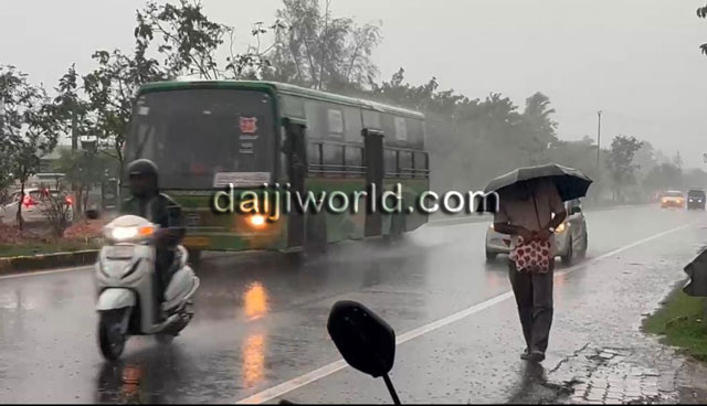
According to the forecast, several parts of the state are likely to receive rain accompanied by thunder, lightning, and gusty winds. For the next four days from March 27, light to moderate rainfall is expected in coastal regions and some interior districts of north Karnataka.
A yellow alert has been declared for districts including Vijayapura, Bagalkote, Raichur, Koppal, Ballari, Chitradurga, Uttara Kannada, Dakshina Kannada, Udupi, Mysuru, Kodagu, Hassan, Chikkaballapur, Bengaluru Urban, and Kolar. These areas may experience rainfall with thunder, lightning, and winds blowing at speeds of 30–50 kmph.
Rain activity is expected to remain active in north Karnataka districts on March 28, while southern interior regions, including Bengaluru, may witness increased rainfall from March 29. In Dakshina Kannada, Udupi, and Uttara Kannada districts, thunderstorms with rain are likely in the afternoon and evening hours at isolated places.
Though rainfall may reduce slightly over the next one or two days, there are indications that it could continue until April 4 or 5.
In Bengaluru, good rainfall is expected in the coming days, especially during the evening and night, with temperatures likely to hover around a maximum of 33°C and a minimum of 20°C.
Districts such as Kodagu, Hassan, Chikkamagaluru, and Shivamogga are also likely to receive thunder showers during the afternoon and evening, with normal rainfall expected in some areas. Similar weather conditions are forecast at isolated places in Mysuru and Tumakuru districts, and in parts of Chitradurga district.
Authorities have advised the public to take shelter in safe places during rain and lightning and to follow updates from the Karnataka State Natural Disaster Monitoring Centre (KSNDMC) or the IMD website for the latest information.
The current weather pattern is attributed to anti-cyclonic circulation over north Karnataka and central India at mid-levels, which is likely to enhance rainfall activity, particularly in north Karnataka. Rainfall is also expected to extend to southern interior districts after March 28.