Daijiworld Media Network - New Delhi
New Delhi, Oct 13: The Ministry of External Affairs (MEA) on Tuesday reiterated that the Union Territory of Ladakh remains an “integral and inalienable part of India”, asserting that no amount of denial by China can change this established fact.
Responding to media queries about remarks made by Chinese Foreign Ministry spokesperson Mao Ning earlier in the day, MEA spokesperson Randhir Jaiswal referred to the Ministry of Home Affairs’ statement on the identification of 28 places and geographical features in Ladakh using standard names on the official map of the Survey of India.
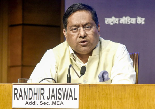
Jaiswal said the exercise had been carried out in consultation with the Union Territory administration and local stakeholders.
“It is reiterated that the UT of Ladakh is an integral and inalienable part of India. No amount of denial by the Chinese side can change this established fact,” he said.
Referring to the Home Ministry’s announcement, Jaiswal said it was self-explanatory and clarified that the 28 places and features had been formally identified on the Survey of India map of Ladakh to facilitate their accurate recognition and improve public awareness.
The MEA’s response came after Mao Ning opposed India’s move to identify the 28 places and geographical features using standard names on the official map, describing the exercise as “illegal and void”.
Earlier this month, the Centre announced the identification of 28 places and geographical features in Ladakh on the Survey of India’s official map, highlighting their geographical significance and seeking to improve public awareness of their exact locations.
“Government of India, in consultation with the Union Territory of Ladakh, has identified a total of twenty-eight (28) places/features, located in the UT of Ladakh, by standard place and feature names on the official map of the Survey of India (SoI),” an official statement said.
The statement added that formally identifying the locations on the map would help ensure their accurate recognition and better awareness among the public.
The places and features identified include Atisha Giri Peak, Brangsa Land area, Chapchingal, Kanishka Peak, Karun Pir Mountain, Kuksel Land area, Martand Gir Peak, Parpik Glacier, Skamri Glacier, Shachmirk Pass, Shkorga Valley, Zorawar Peak, Dehra Compass Land area, Drak Karpo Mountain, Gogra Land area, Jolmori Mountain, Kumarayana Point Land area, Panglung Land area, Rinchen Zangpo Peak, Sakyasri Giri Peak, Guru Rinpoche Lake, Shamal Lungpa Land area, a river, a hot spring water body, Marpa Lotsava Ri Peak, Milarepa Kangri Peak and Maheshvara Ri Peak.
The identification and standardisation of geographical features on the Survey of India’s official map carry administrative, strategic and legal significance. The exercise establishes uniform official names for geographical features such as peaks, passes, rivers, glaciers and land areas, helping avoid confusion arising from local variations or duplicate references.
Official cartographic records also provide a formal basis for documenting India’s position on geographical nomenclature amid disputes over naming practices in border regions, including Ladakh and Arunachal Pradesh.