Daijiworld Media Network – Panaji
Panaji, May 13: Goa’s private forest identification exercise has widened further, with a government-appointed review committee identifying an additional 37.36 square kilometres of land that may qualify as private forest across different parts of the state.
According to officials associated with the process, the fresh findings emerged after detailed field inspections, satellite imagery analysis and verification of land and survey records carried out by the committee during the latest phase of reassessment.
The newly identified areas are spread across several talukas and are expected to undergo further scrutiny by the State government before any final notification is issued.
The development has once again brought the contentious issue of private forest classification into focus, with environmental groups and landowners continuing to remain divided over the exercise.
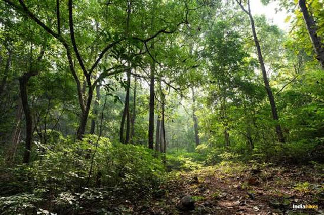
The identification drive stems from directions issued by courts and environmental authorities to safeguard ecologically sensitive green cover located on privately owned land. Once an area is classified as private forest, restrictions under forest and land-use regulations come into effect, affecting construction, land conversion and commercial activities.
Over the years, multiple committees have identified large stretches of private forest land in Goa. However, disputes over survey boundaries, ownership documents and classification methods have led to repeated reviews and objections from property owners.
Environmental activists have consistently pushed for stronger protection of forest areas, warning that rapid and unregulated development poses a serious threat to Goa’s fragile ecology.
Meanwhile, several landholders have opposed fresh classifications, alleging that cultivated plots and residential areas are being wrongly included under forest categories.
Officials said the latest report will now be examined at the administrative level before further steps are taken by the government.